

THE PROJECT
The project Venice’s Nissology (VeNiss) has been awarded an ERC Starting Grant from the European Research Council for five years (2023–2027) and is based at the Università degli Studi di Padova, in the Department of Cultural Heritage, in partnership with the Department of Architecture at the Università degli Studi di Firenze and I Tatti, The Harvard University Center for Italian Renaissance Studies. Thanks to the generous ERC support, a sizeable interdisciplinary team of art and architectural historians, socio-economic and literary scholars, as well as experts on digital survey, 3D modelling, and semantic web is working to develop a methodology for grasping the urban dynamics of Venice’s cluster of islands, one of the most enduring and contradictory human-made settlements.
In the historical tradition, Venice is a city without walls and gates, and hence lacking suburbs. VeNiss reverses this trope by examining the urban, political, and cultural patterns connecting the capital with its lagoon archipelago through a web interactive 3D map, intended for researchers and the wider public alike. This is a geo-spatial semantic infrastructure that, as a sort of historical Google maps, enables a journey through time and space to discover and visualise the layered histories of Venice’s over sixty ‘domestic’ islands forming its granular hinterland.
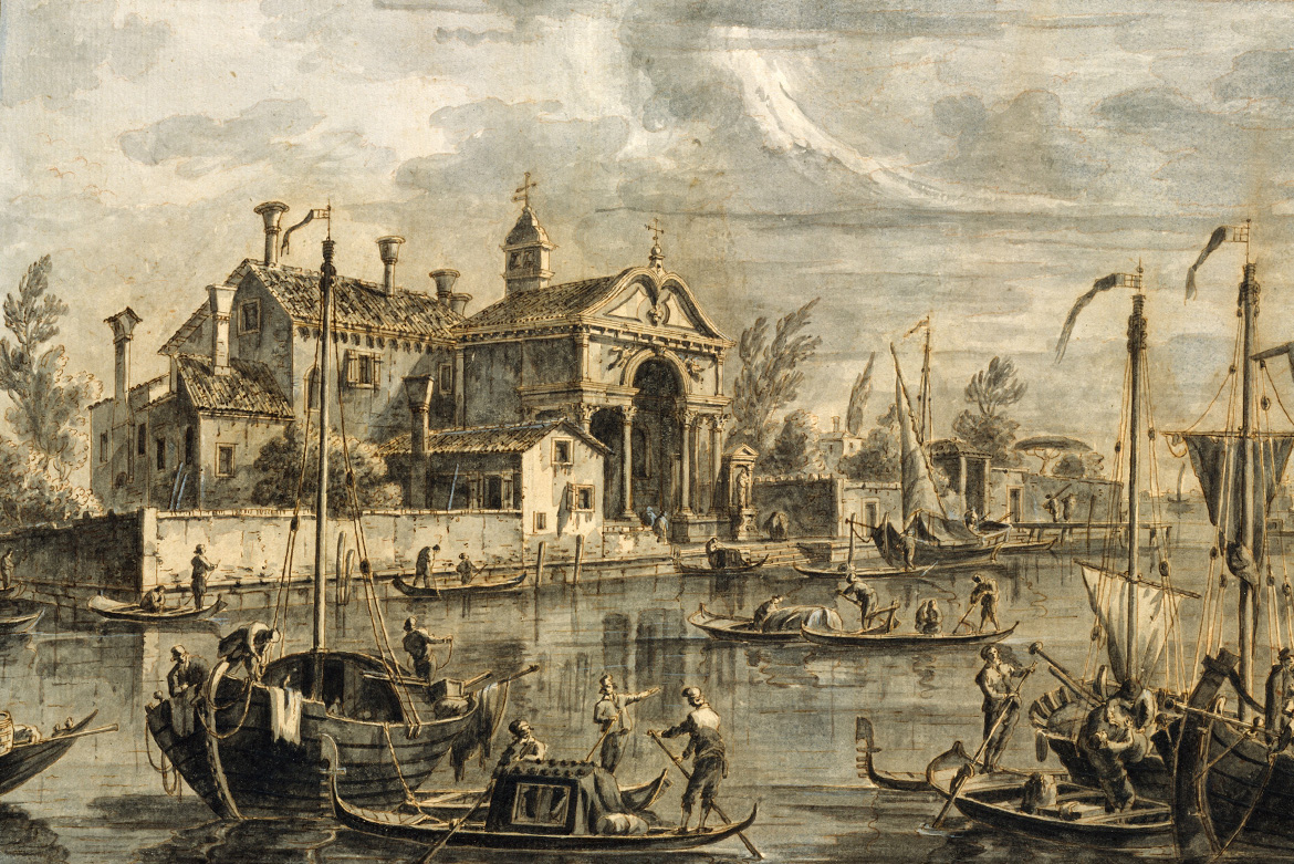
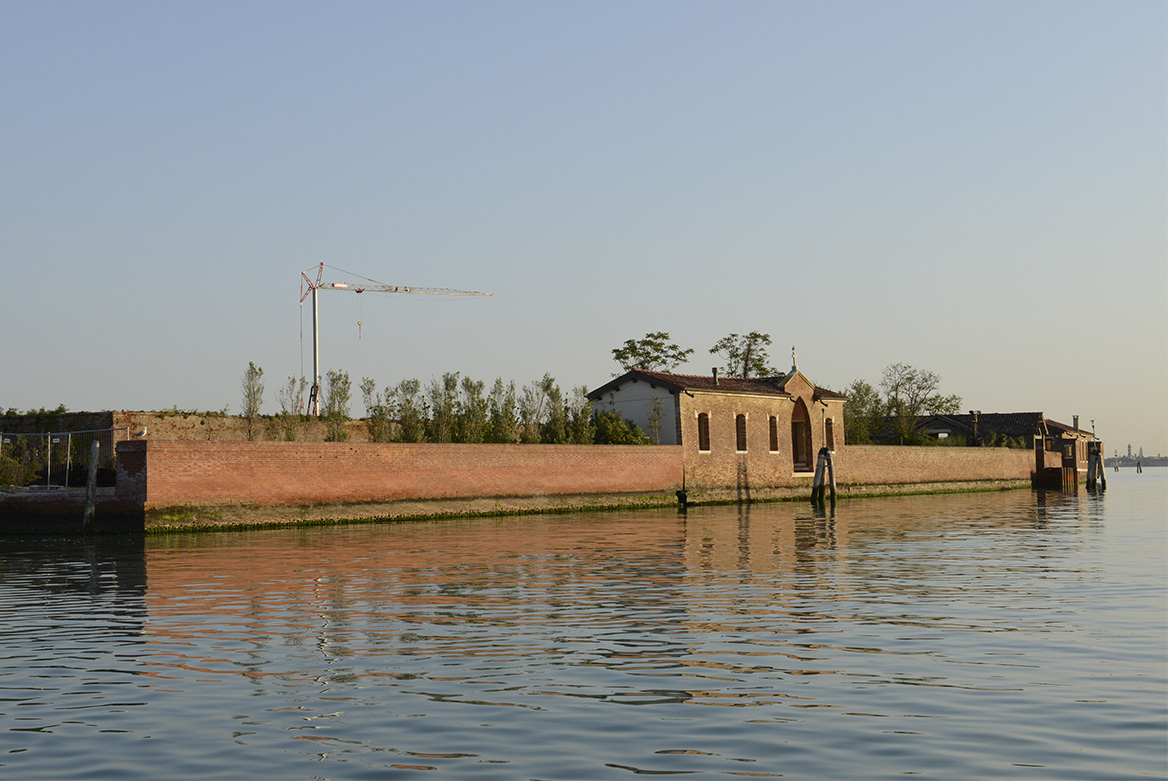
VeNiss tells a story of half a millennium, which begins in the Cinquecento, the historical moment that marked the rise of a critical consciousness about the city’s archipelagic status. From the sixteenth century, the Venetian Republic deliberately included its many lagoon settlements in a broader territorial vision by transforming them into crucial sites for the city’s food supply, defence, healthcare, and civic rituals. Cultural entanglements sometimes bypassed the city, as novel lagoon artistic and architectural solutions permeated the Italian Peninsula through the agency of religious communities. Atlases and books of islands published on and in Venice helped consolidate the city’s archipelagic thinking into a coherent framework.
Allowing users to navigate across the digital historical lagoon, the research platform brings the once densely-populated islands to life in their physical appearance as well as in their social arrangement. Through 2D and 3D interoperable digital models interwoven with pertinent historical information, the online infrastructure helps investigate, interpret, and represent the long-lasting dynamics of Venice’s centre-periphery relations, blending the physical and functional dimensions together and displaying them as an on-going flow. Reframing the lagoon as a large-scale ‘urban fringe’, this project re-evaluates the Venetian archipelago as the fundamental connective tissue of the city’s political, socio-economic, and cultural practices.
Madonna del Monte
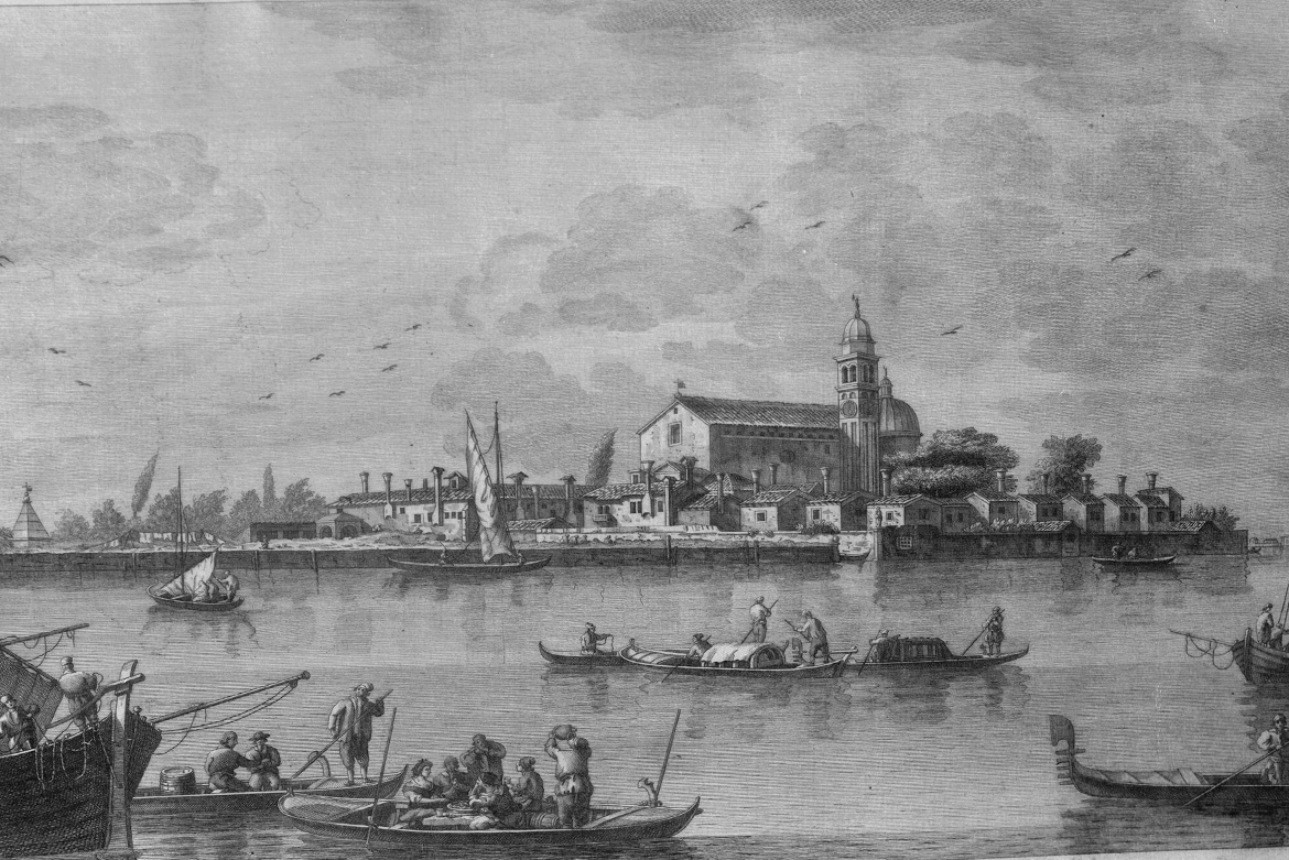
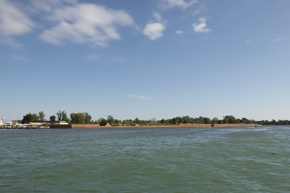
La Certosa
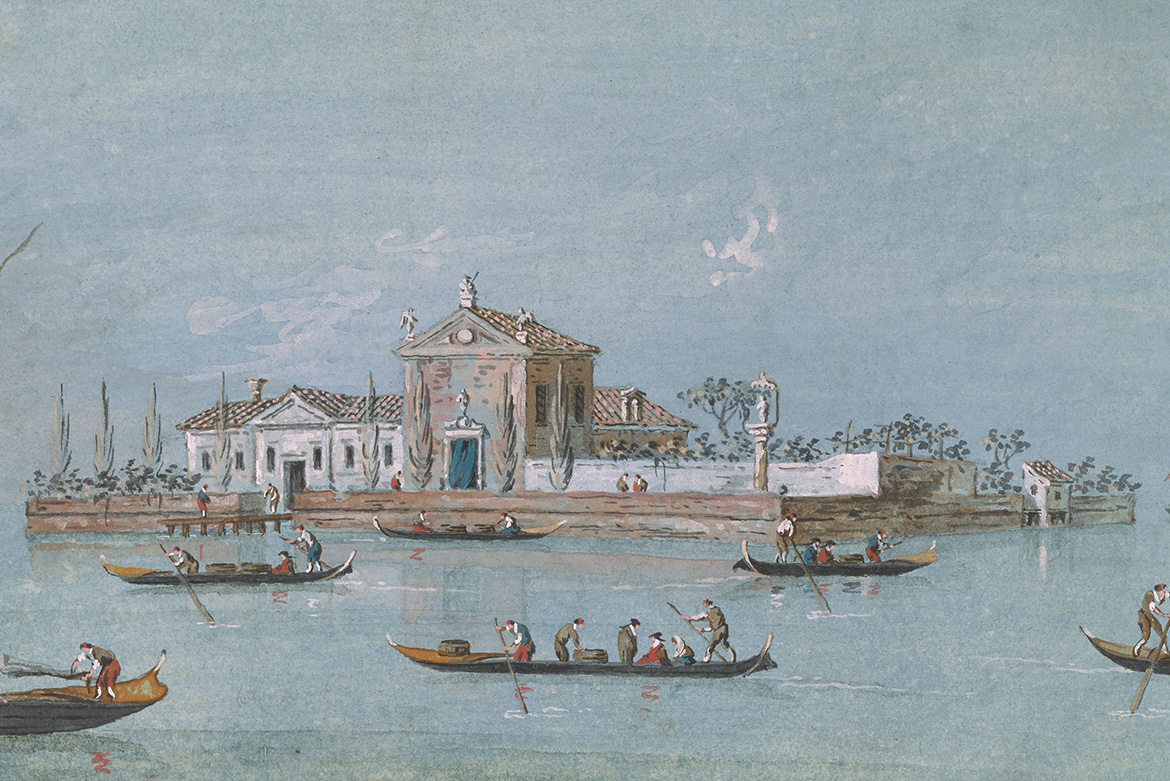
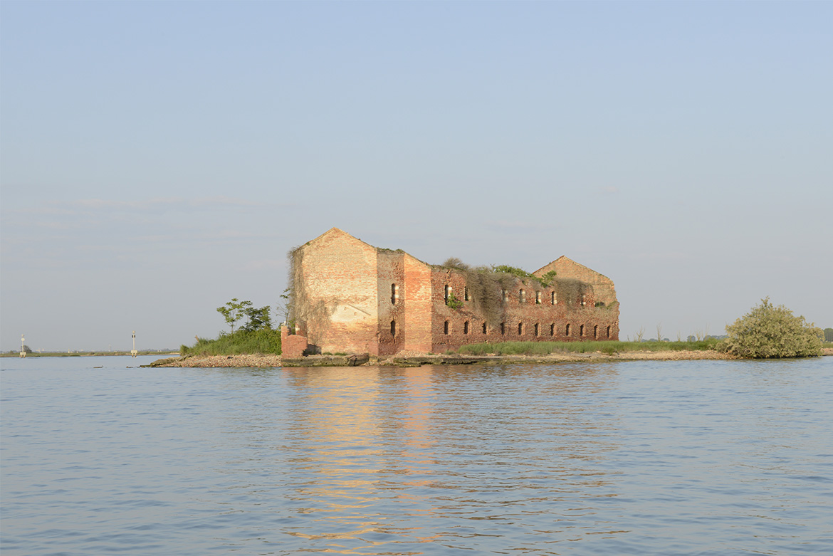
San Giacomo in Paludo


